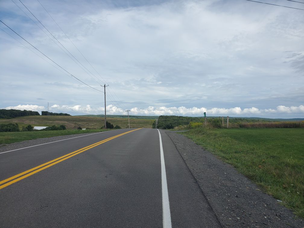
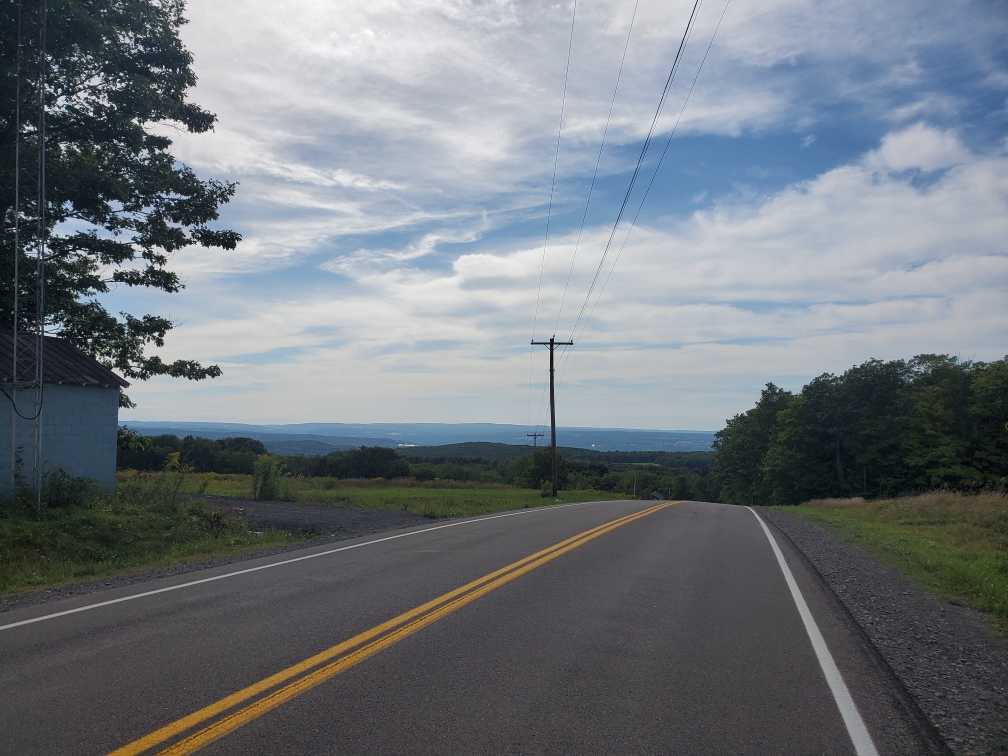
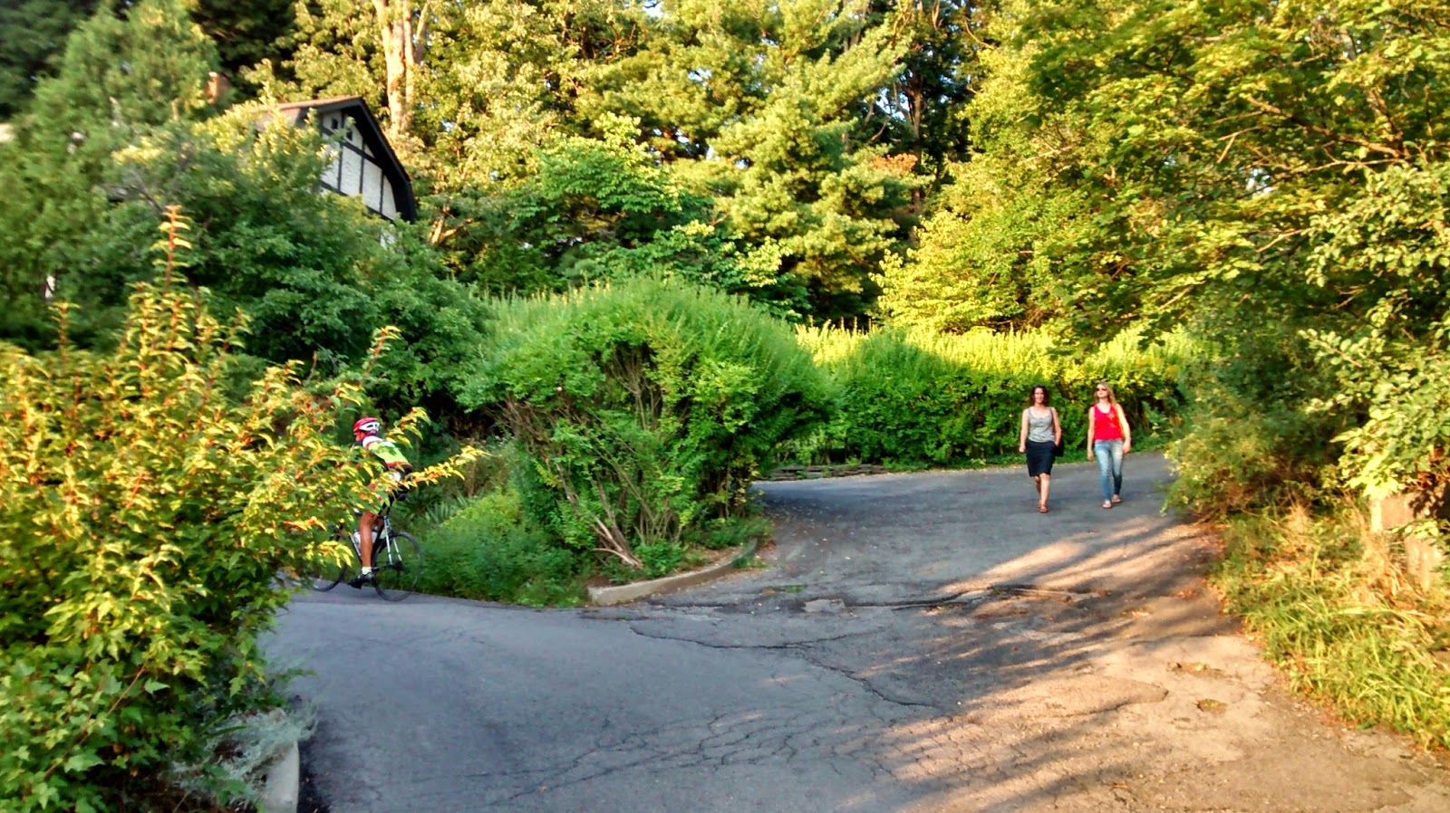
Ithaca is a fantastic place to ride, and if you’re new to the area (or new to riding), we’re happy to offer some suggestions below. Another great source of routes is the club’s page on Strava, and the Finger Lakes Cycling Club has a huge collection of maps and cue sheets. David Stauffer has also written a few posts about Ithaca routes here (Aug/Sep 2014) which we have transcribed and ammended to here. Or check out RideWithGPS collection of mostly road routes starting from campus: RWGPS Route Collection.
- Mountain and Cyclocross
- Hammond Hill State Forest — About 5 miles east of NYSEG turn south from Rt. 13 onto Irish Settlement Rd. Turn left onto Star Stanton Rd., about 3 miles from Rt. 13. Follow Star Stanton, bearing right at the Y, and head up hill. Parking lot is at the top of the hill, on the right, just before a significant downhill. Here on finds miles of jeep roads and trails. There are typically DEC trail brochures available at the trail register (across the road). Colored trail blazes mark some of the more prominent trails.
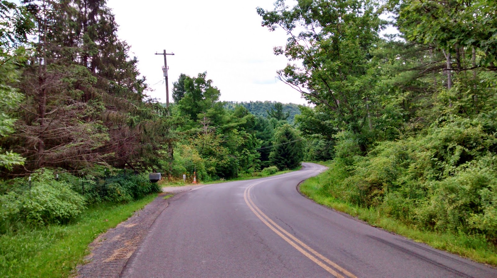
- Shindagin Hollow State Forest — Take Rt. 79 east about 4 miles and turn right onto Brooktondale Rd. In about 5 miles bear right onto Braley Hill Rd, and travel about 1/4 mile uphill. A cornucopia of trails stem off this road, in both directions, offering challenges for every level of rider.
- The Swandrome — located at the famously easy to miss Swan Cycles on Mount Pleasant, the Swandrome is hosts ‘cross and MTB practice and races in the fall. When you’re there, be sure to thank Glenn Swan for being such a great host to the local cycling community.
- Road
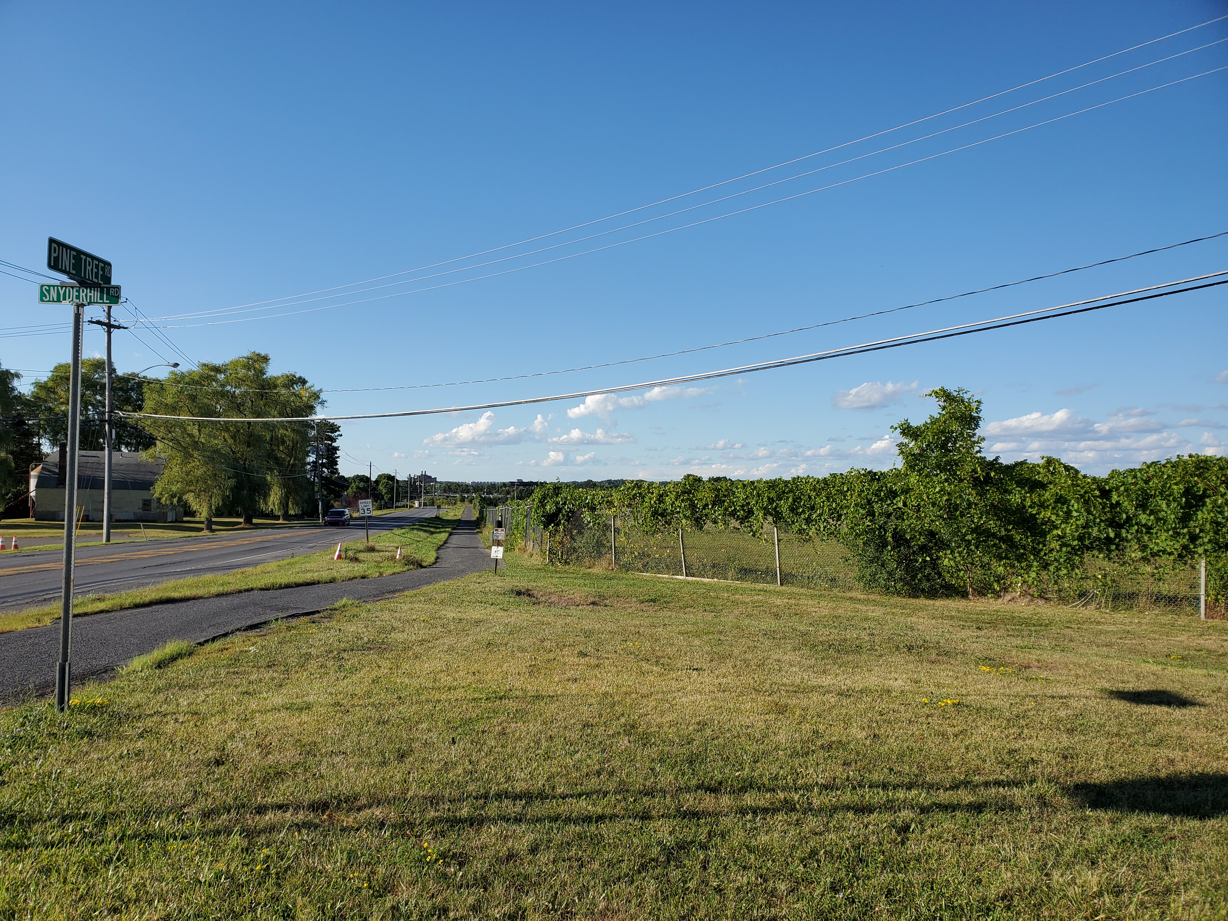
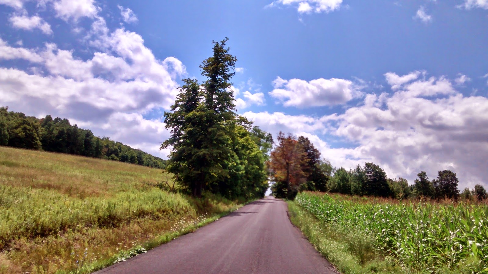
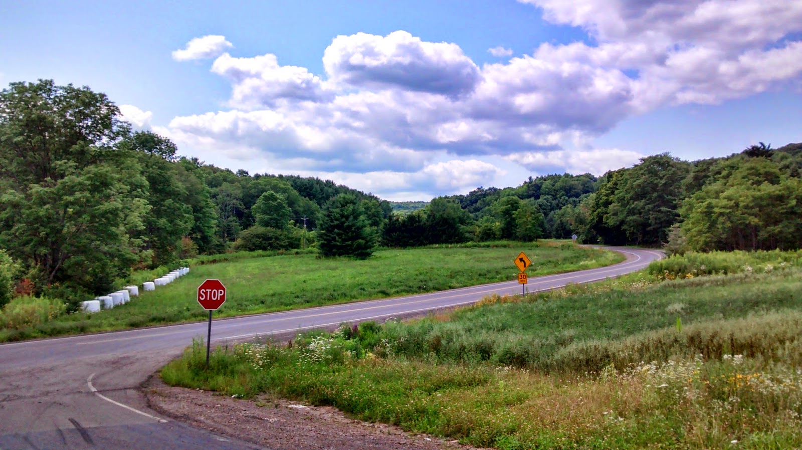
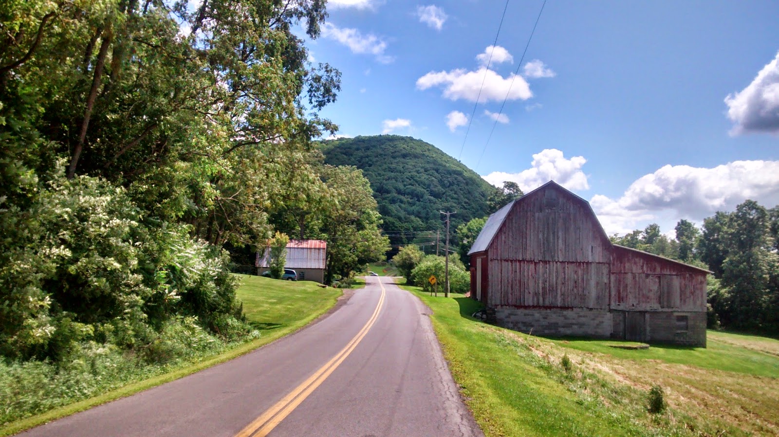
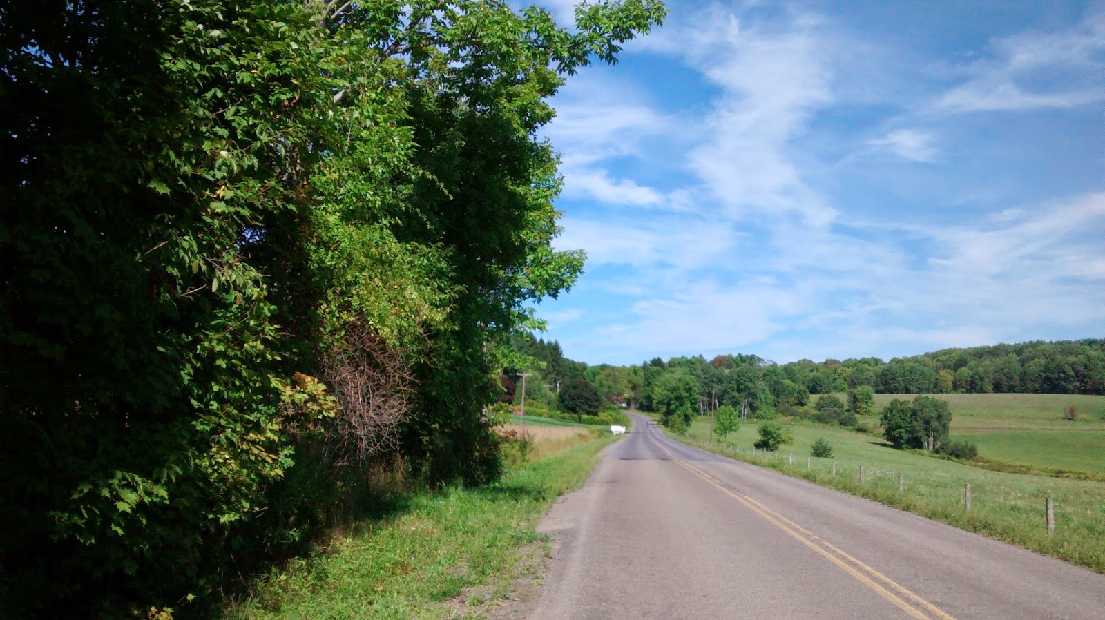
- Coddington and Ellis Hollow (East, 30 mi, flat) — This loop takes you along some of the more important cycling roads to the east of campus, and is a great starting point for other rides. The route follows the valley to Brooktondale and returns through Ellis Hollow; part of this loop is used as the flat course for TNR. The hills around Ellis Hollow are home to some great climbing, especially Hammond Hill, Ringwood, Irish Settlement, and Mount Pleasant Roads.
- Van Ostrand and Salmon Creek (North, 29 mi, flat with one climb) — Leaving campus and heading north, past the airport, this route goes past the many farms north of Ithaca and returns through the Salmon Creek valley and Cayuga Heights. North of Ithaca is a great location if you’d like to avoid the hills; most of the roads form 1 mile squares, so it’s hard to get lost.
- Along the lake (West, 40 mi, rolling) — heading through downtown, this route follows the major state roads along the west shore of Cayuga Lake. Explore some of the side roads, as there’s plenty of options for good climbs and views of the lake.
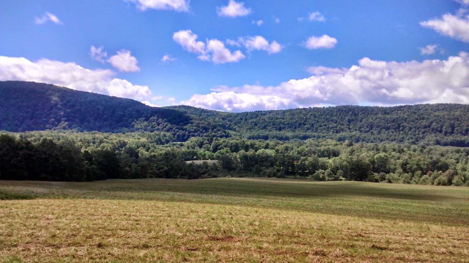
- Around the lake (90-100 miles, rolling) — this is the classic Ithaca ride. The most direct route around the lake is about 92 miles, but you might as well take a side trip and extend to the full century. There’s also a variation that stays a bit further from the lake, but avoids the busier roads and has a little bit less climbing. The FLCC has more info, including cue sheets with details about places to rest and refuel.
- For information about riding safely on the roads, take a look at this helpful infographic outlining the rules of the road in New York State.
Long Routes:
- Southeast to Greenwood County Park: 70 miles and 6400 ft. of climbing. Lovely country roads throughout with highlights on Howard Hill Road and Glen Road. Save some energy for the grind up Old 76. Stop for water at Greenwood park (and ice cream if you need some cold calories).
- West to Whitney Point: 80 miles with 6200 ft. of climbing. Head up Old 76 and Glen road this time, continuing on a variety of exposed country roads to Whitney Point. Heading north past Whitney Point Reservoir on Route 26, a couple left turns take you up a steep dirt ramp on Gay Head Road. Fear not! The dirt ends as the road levels out and smooth asphalt leads the way home. Enjoy the climb up Owego Hill and the riverside ride on Lower Creek.
- Owego Lake Loop: 85 miles and 4700 ft. of climbing. Highlights are the challenging climb out of Moravia on Long Hill Road and the subsequent lakeside riding. The ride down Salmon Creek Road is also a beautiful, quiet country road. Great loop for some fast rolling.
- Cayuga Lake Lap: 90 flatter miles with 4200 ft. of climbing. Uses the obvious, main roads but gets some fantastic lakeside roads. Stop at Cayuga Lake State Park for water and some lakeside pictures. This route is pretty flat but save some energy for the exposed, hillier section near the end where water runs low and sweat rolls from the brow.
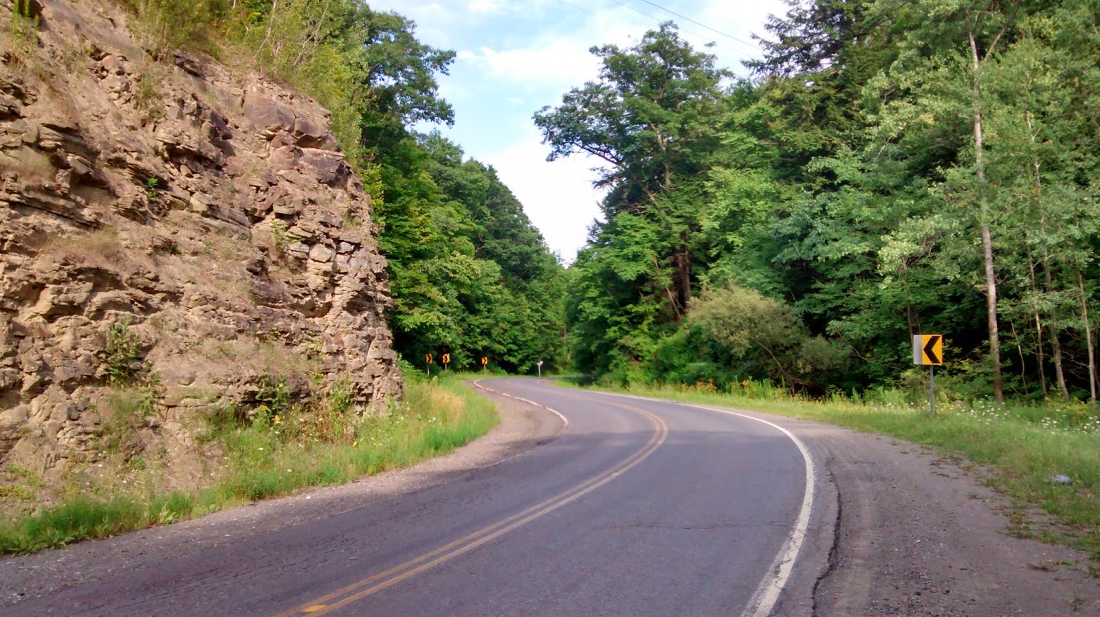
- Southwest Gil Route: borrowed from Gil Menda, a 78 mile with almost 7k ft. of climbing. South Danby Road, Wyncoop Creek and Hogback Road make a lovely route out. Shaffer road makes for a nice gradual
Medium Length Routes:
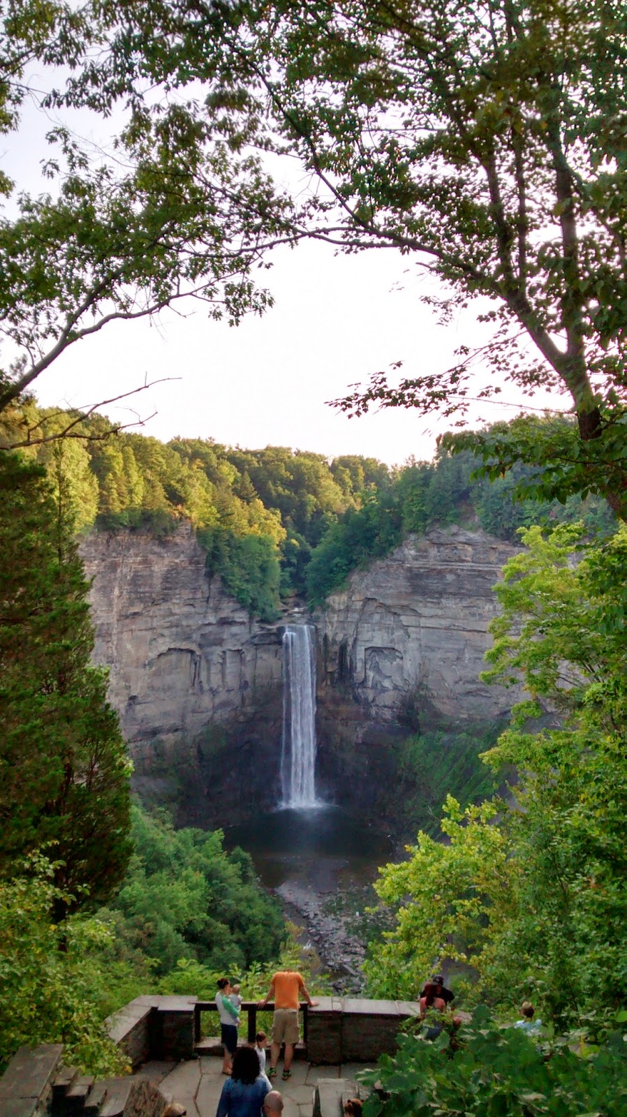
- To the west is a 55 mile route with 4500 ft. of climbing. Enjoy the views form the top of Picnic Hill rd and stop halfway down the descent of Taughannock Park rd to see the beautiful falls. This ride takes you past Treman State park and the Finger Lakes National Forest as well!
- Opposite Ithaca, this 38 mile route takes you over three quiet country climbs and through Dryden to the west. Enjoy the view of Dryden Lake and the finish along Fall Creek.
- Our next route takes us southeast along a flatter 46 mile route – perfect for a paceline practice. Pound down Fairfield road, turn the corner and push it back up Back West Creek rd. The oft-ridden Old 76 provides a finishing climb to burn any extra energy.
- The southwest route is 45 miles full of challenging hills! Still a work in progress, this route includes some dirt/gravel sections. The descent down Route 327 provides flowing finish to this challenging ride with 4500 ft. of climbing.
- Finally, the northern ride offers another flattish 45 mile route. A classic Cornell cycling club ride, see how fast you can complete the Tempo Tuesday Strava segment. Travel a few extra feet down Mill st. in Ludlowville for a view of the picturesque falls on Salmon Creek.
Short Routes:
- Lower Creek Groton (26 miles, 1300ft elevation)
- Brooktondale (20 miles, 1400ft elevation)
- The Inlet (12 miles, 620ft elevation)
- Ringwood (26 miles, 2000ft)
- Sandbank and Buttermilk Falls (14 miles, 1700ft elevation)
- Mt. Pleasant and Yellow Barn (25 miles, 3000ft elevation). This route isn’t too long, but packs quite a bit of elevation for the distance. It starts by taking you up Mt. Pleasant; which can be pleasant, provided you enjoy climbing. Make sure you take in the nice view and enjoy the fast descent because it won’t be long before you’ll be climbing back up Yellow Barn Rd.